- Home
- Geographic Locations
Geographic Locations
Shetland is remarkable for the variety of both cultural and natural heritage that is present in such a relatively small geographic area.
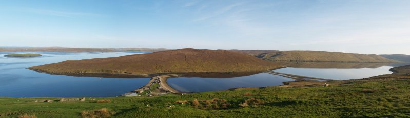
The landscape changes dramatically from the fertile fields of the South mainland through the broad water sculpted valleys of Weisdale and Tingwall to the rugged hills and moorland of the north. The underlying geology responsible for this diversity also promotes a broad range of flora and fauna ranging from the huge seabird colonies on the towering sea cliffs to the tiny flowers in wildflower meadows.
Different areas of Shetland have also developed their own cultural identities based on their geographic locations, relative remoteness and the industries which dominated their economic development both historically and in the present.
This section of the website, and the leaflets it links to, will allow you to explore these different areas from the remote outer islands, with populations of less than 50 in some cases, to the bustle of Lerwick which now houses more than half the population of the islands.
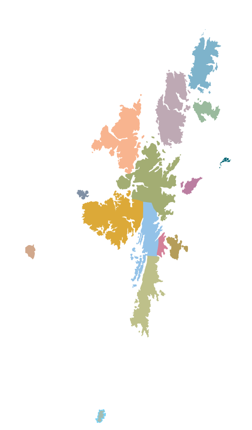
Shetland Area Map
Click on the coloured areas below to learn more about the area. Hover your mouse over the areas to see the area name.