- Home
- Geographic Locations
- South Mainland
South Mainland
The narrow peninsula which runs 25 miles south from Lerwick boasts some of Shetland's most attractive scenery, an extraordinary concentration of archaeological sites, and world-class wildlife attractions in its seabird cliffs, wildfowl lochs, seal rookeries and whale-watching viewpoints.
 enlarge
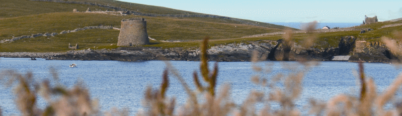
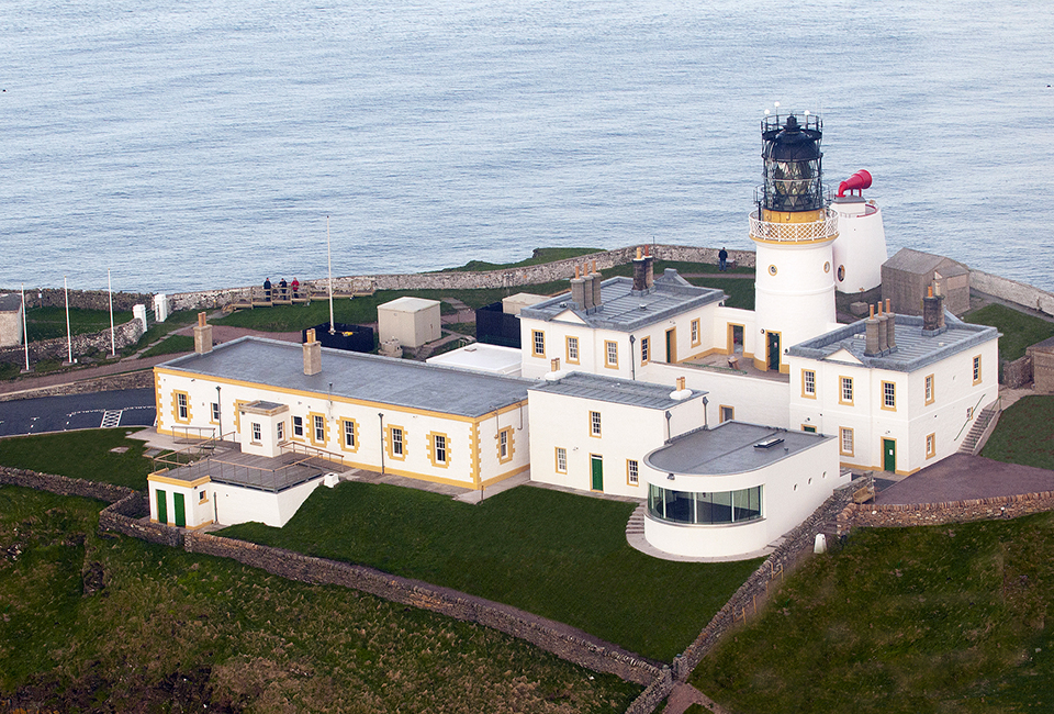
Sumburgh Lighthouse
The many side roads off the A970 from Lerwick to Sumburgh make this an ideal area to explore by car. There is excellent walking round the coastline and along the ridge of hills which forms the spine of the South Mainland. The views from summits such as the Wart of Scousburgh and Fitful Head are on an epic scale: crofts and farmland fringe beaches of shell sand and secluded rocky coves; while to seaward Fair Isle and Foula make romantic silhouettes on the ocean horizon.
enlarge
Sumburgh Lighthouse
The many side roads off the A970 from Lerwick to Sumburgh make this an ideal area to explore by car. There is excellent walking round the coastline and along the ridge of hills which forms the spine of the South Mainland. The views from summits such as the Wart of Scousburgh and Fitful Head are on an epic scale: crofts and farmland fringe beaches of shell sand and secluded rocky coves; while to seaward Fair Isle and Foula make romantic silhouettes on the ocean horizon.
The shape of the land has mostly been carved by glaciers out of ancient Old Red Sandstone rocks, some 370 million years old, although there are also deposits of soapstone and copper ores. Sandy soil and generations of careful husbandry have made this Shetland's most productive agricultural district. The South Mainland also has the greatest density of sandy beaches and the sandstorms have helped to preserve archaeological sites such as Jarlshof and Old Scatness.
Throughout the South Mainland there are fascinating traces of the past: small watermills and old croft townships constructed from the area's beautiful building stone; patterns of ancient field systems; Shetland Ponies whose ancestors carried the peats home for winter fuel; and traditional double-ended Shetland boats whose lines speak of their Viking origins.
Find out more about the South mainland by visiting the following websites:
Download Our Brochure
For more information about South Mainland, download our free South Mainland brochure [.pdf approx. 1,5Mb]